
Sakhalin
1 photo
Maguntan Mud Volcano
Maguntan mud volcano — three grey eyes on a 4-km field and the endemic Deschampsia tzvelevii
Description
Northeast of Yuzhno-Sakhalinsk, a low ridge opens onto a landscape that belongs to no season: grey mud craters bubbling quietly at eye level, mineral springs in pale salt rims, ground warm underfoot even in October. This is the Maguntan mud-volcano field — the most accessible heart of the Pugachev group and one of four sites the Ainu held as "places of power".
What a mud volcano is
A mud volcano is not magmatic. There is no lava and no heat from the deep mantle here: the pressure comes from gas — mostly methane and carbon dioxide — rising from deep sedimentary layers through water-saturated clay, and at the surface it pushes up a viscous grey mass. Sakhalin sits on a thick Cretaceous and Tertiary sedimentary sequence loaded with hydrocarbons and formation water, which makes the island one of Russia's densest mud-volcano regions.
Maguntan itself is the major active expression of the Pugachev group, scattered across a few square kilometres. From above the field reads as three large grey circles — "eyes" — clearly visible on satellite imagery; on the ground, beneath varied vegetation, lies a field roughly four kilometres in diameter. The surface is flat, slightly raised toward the centre; at the heart sits the main mud crater with bubbling griffins emitting fresh grey slurry. The largest vents reach 5–8 metres in diameter; cycles range from a steady gentle bubbling to pulses that throw mud half a metre or more into the air.
The field and its inhabitants
Maguntan looks Martian — but it is not empty. The wetland surrounding the volcano carries a rich herbaceous cover: grasses, wildflowers, and trees that improbably hold their footing in the saturated ground. On the volcanic clearing itself grow several remarkable plants, among them Deschampsia tzvelevii — Tzvelev's hairgrass — an endemic listed in the Red Data Book of Sakhalin Region and known from this site alone. A rare class of object: a species with no other address in the world.
The Ainu treated Maguntan as one of four principal "places of power" on Sakhalin. The likely explanation is the same one that draws us here today: the place is felt. The silence sharpens the strangeness — the slow "pop" of gas through thick slurry, a sulphurous mineral scent that reaches you before the first crater comes into view.
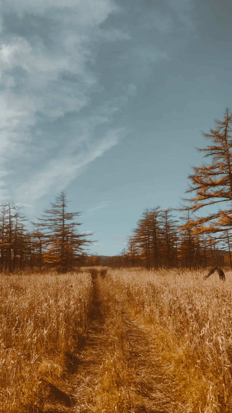
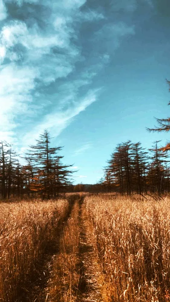
The approach
The trail crosses scrub forest before the ground changes abruptly: pale cracked crust, thinning grasses, and the vents open one after another. Around the nearest craters the mud is silver-grey, smooth, in constant slow motion. Stand by one "eye" and you can hear the next vent exhale quietly.
Practical information
- Location: Pugachev area, about 30 km northeast of Yuzhno-Sakhalinsk.
- Season: May through October is the main window; accessible year-round but snow covers the terrain in winter.
- Footwear: Waterproof boots essential — the ground around the vents is saturated and unstable. Stay on marked paths.
- Duration: Half-day from Yuzhno-Sakhalinsk; often combined with other south-Sakhalin points.
- Ethics: The surrounding vegetation is fragile and includes a Red-Book endemic; do not pick, trample or step off the trail.
The stop that surprises
Mud volcanoes exist elsewhere in the world — but an active field with multiple large vents, endemic flora and a cultural trace of the indigenous peoples in one place is rare. Half a day by car from Yuzhno-Sakhalinsk, and you are on a landscape that has no parallel on any of Sakhalin's "postcard" points. AMIST programmes Maguntan into south-Sakhalin day routes as the kind of stop that catches even an experienced traveller off-guard.
Gallery
1 / 2
On the map
Want to see Maguntan Mud Volcano?
We will arrange an excursion to this and other attractions